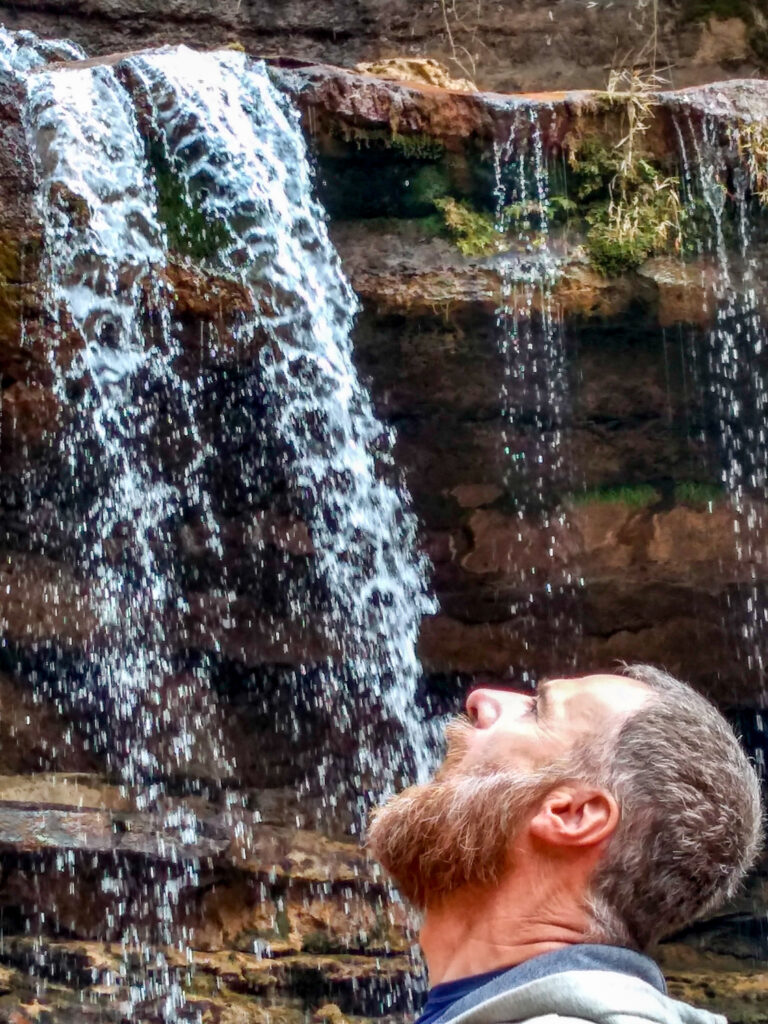
“One of the wettest places on Earth ”.
See photos
Where is Cherrapunji?
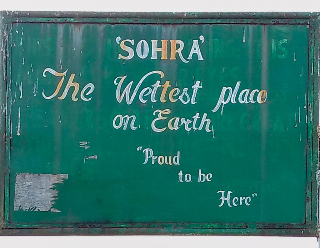
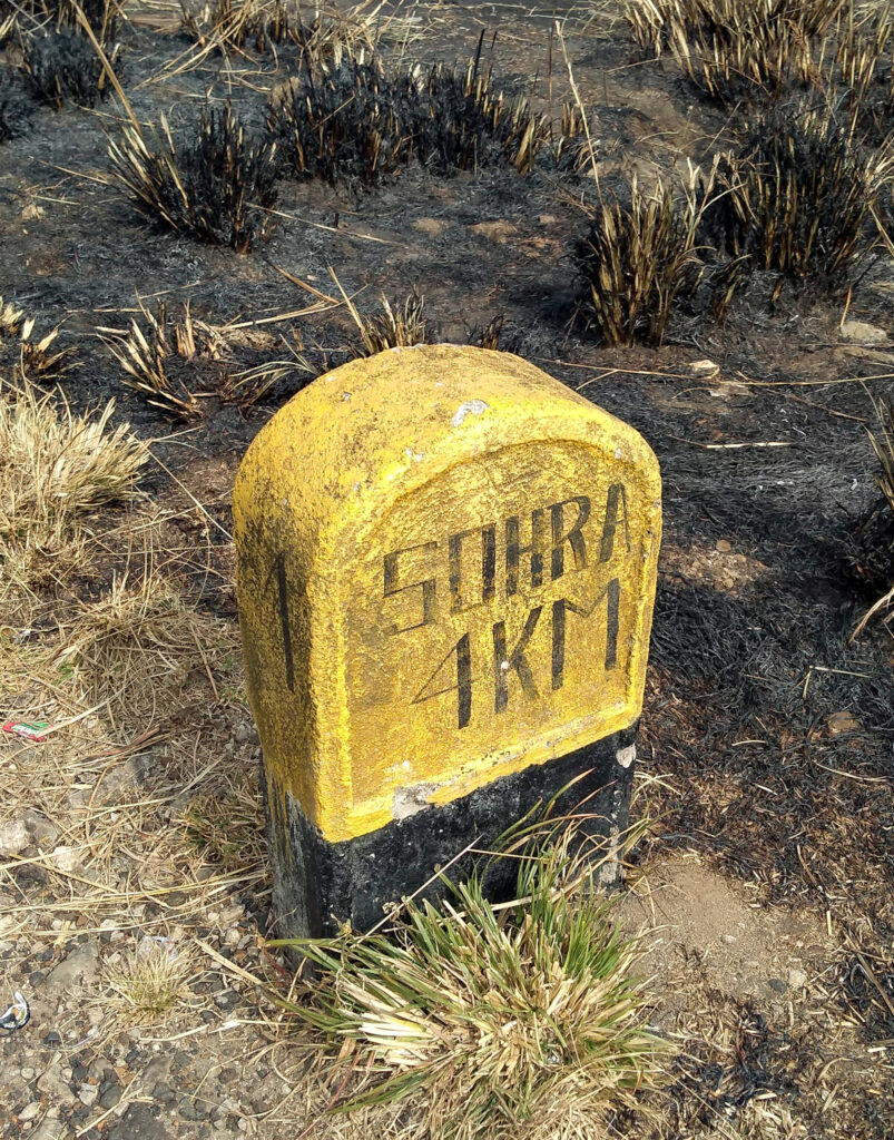
The town of Cherrapunji is also known as Sohra. In the East Khasi Hills in the State of Meghalaya. It sits on a plateau in the southern part of the Hills, facing the plains of Bangladesh. Sitting at an average elevation of 1,430 metres, the plateau rises 660 meters above the surrounding valleys.
Cherrapunji is often credited as being the wettest place on earth. The current holder of two Guinness world records. The maximum amount of rainfall in a single year, 26,471mm between August 1860 and July 1861. The maximum amount of rainfall in a single month, 9,300mm in July 1861.
Getting there
Our journey from Guwahati to Cherrapunji was by shared jeeps.
Our accommodation
During our time in Cherrapunji, we chose to stay at the La Kupar Inn booked through Booking.com. A spacious room with a small terrace and ensuite bathroom.
During our stay in the month of January, the daytime temperature was a pleasant 20 degrees C. However, at night the temperature dropped to an uncomfortable 9 degrees C.
The property doesn’t have heating, so you have to request an electric heater for the room. Even with the heater the room still remains quite cold. The onsite restaurant serves very pleasant food and breakfast is good as well.

Places of interest
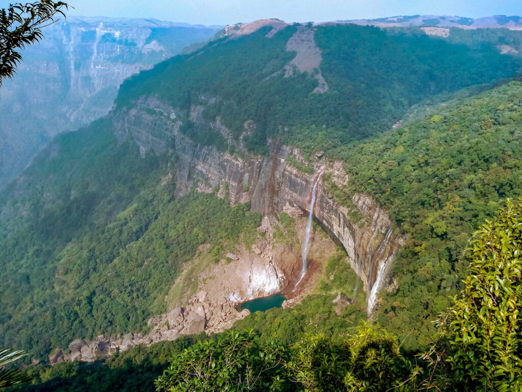
Nohkalikai Falls
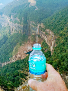
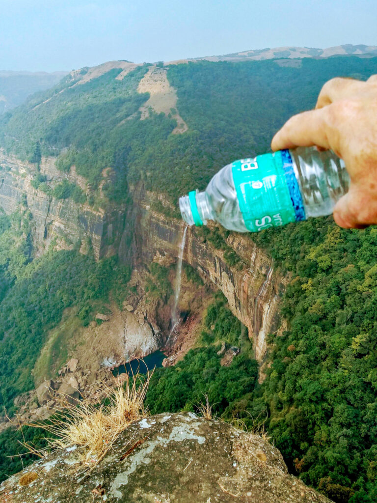
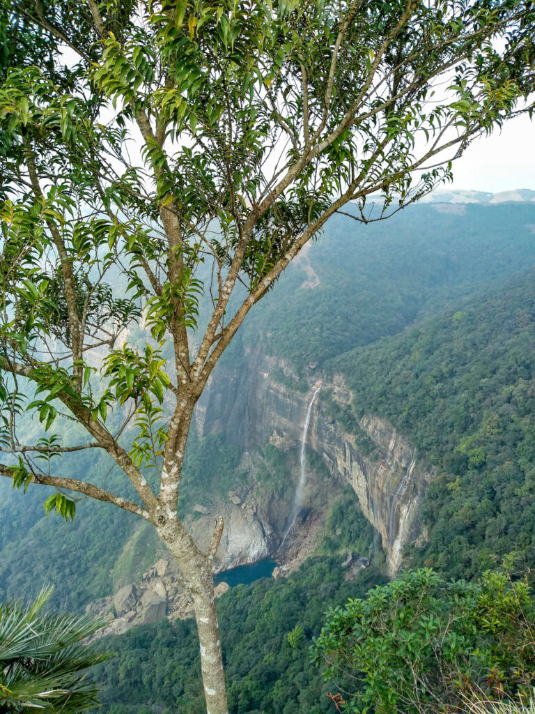
The tallest plunge waterfall in India at 1115 feet (340 metres). The waterfall viewpoint is located about 4km from Upper Cherrapunji. Taxis from Church Road in Upper Cherrapunji cost about 200 Rupees to the Nohkalikai Falls viewpoint.
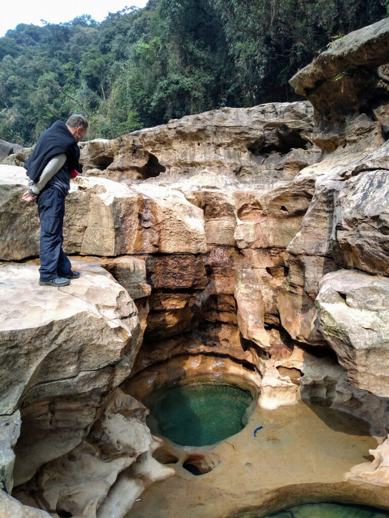
It is possible to trek down to the head of the falls.
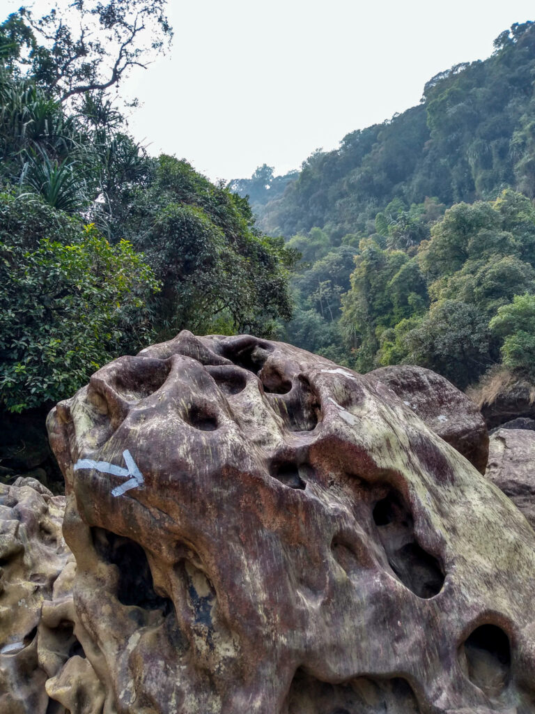
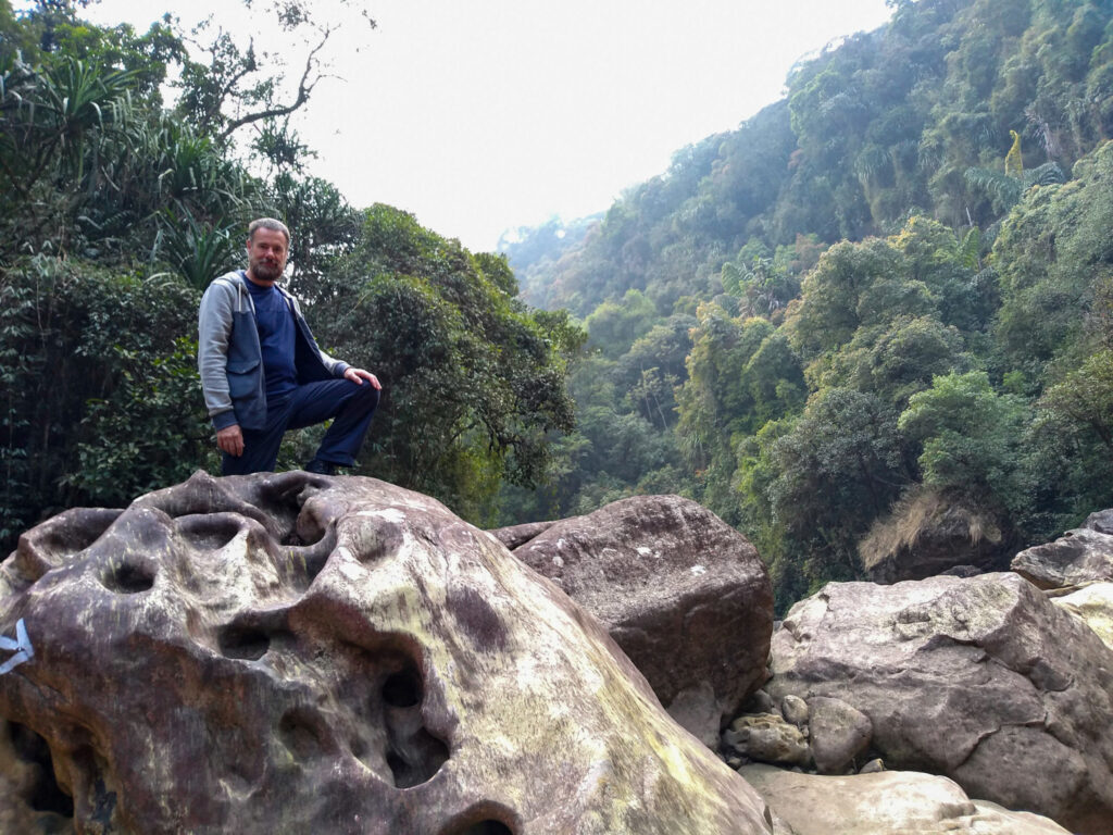
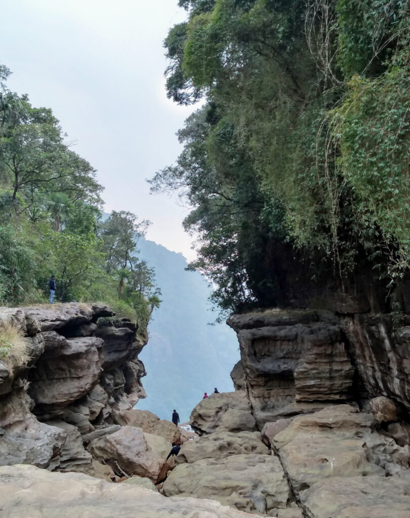
On leaving the road, it is a short walk across a grass field followed by a steep and rugged climb down. It takes about half an hour to get down to the river bed.
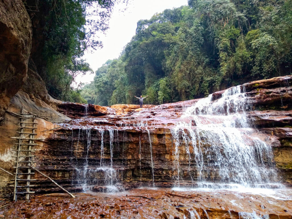
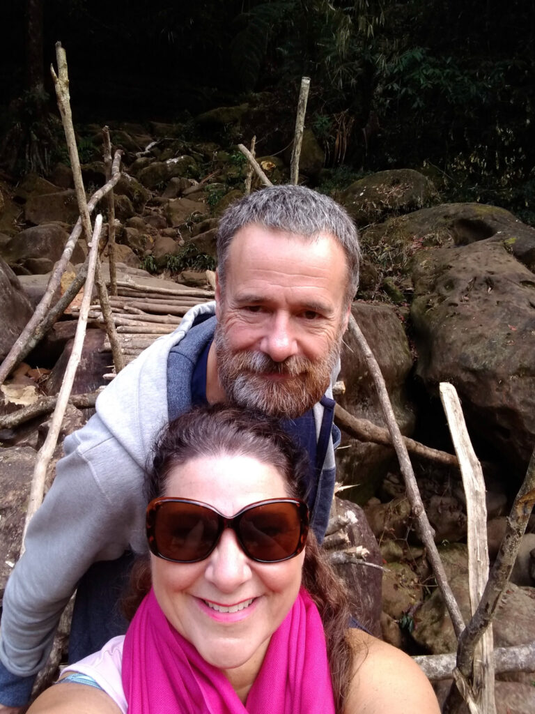
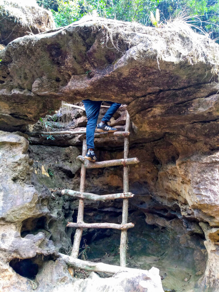
There is an entry charge of 50 Rupees per person and the sights and sound of the river are completely worth the climb. In places, there are improvised ladders on both the trek down and along the river bed to the waterfall head.
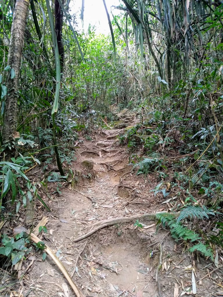
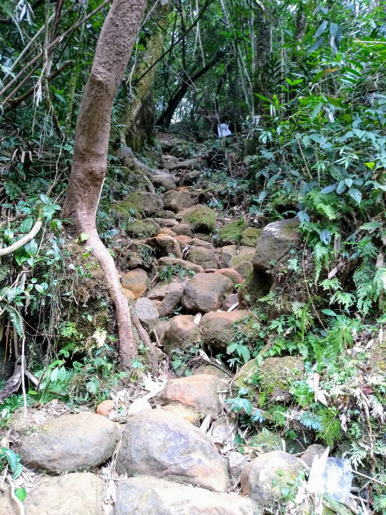
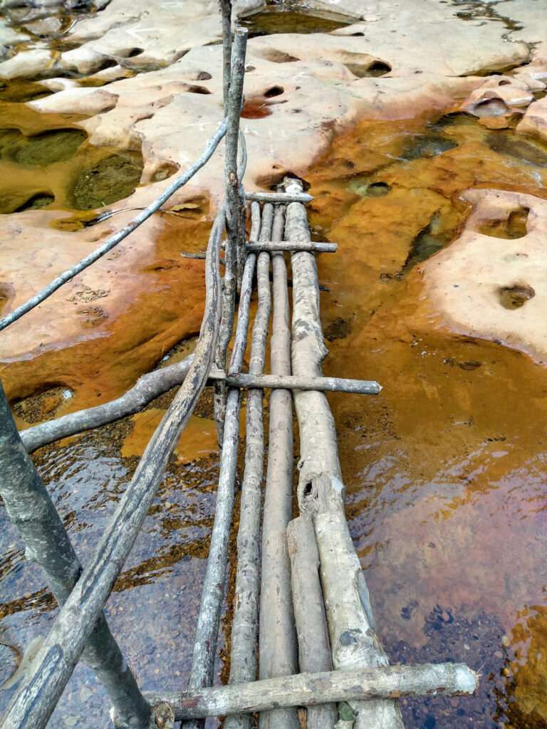
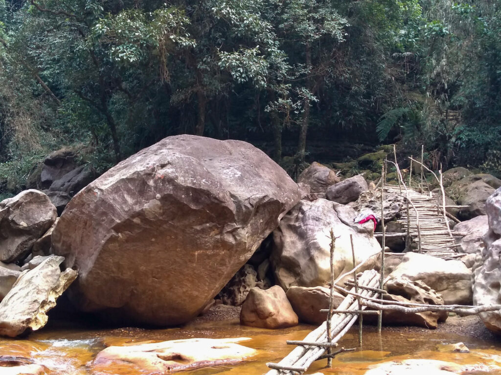
We didn’t make it right to the head of the falls for 2 reasons. Firstly, the last descent was a scramble down through a hole in a rock. Which was, in both of our options, dangerously close to the edge of a sheer 30 ft drop.
Secondly, beyond that, at the head of the waterfall, there is an unprotected 1115 ft drop. Our dynamic risk assessment said no, well actually, we both bottled it!
The Legend
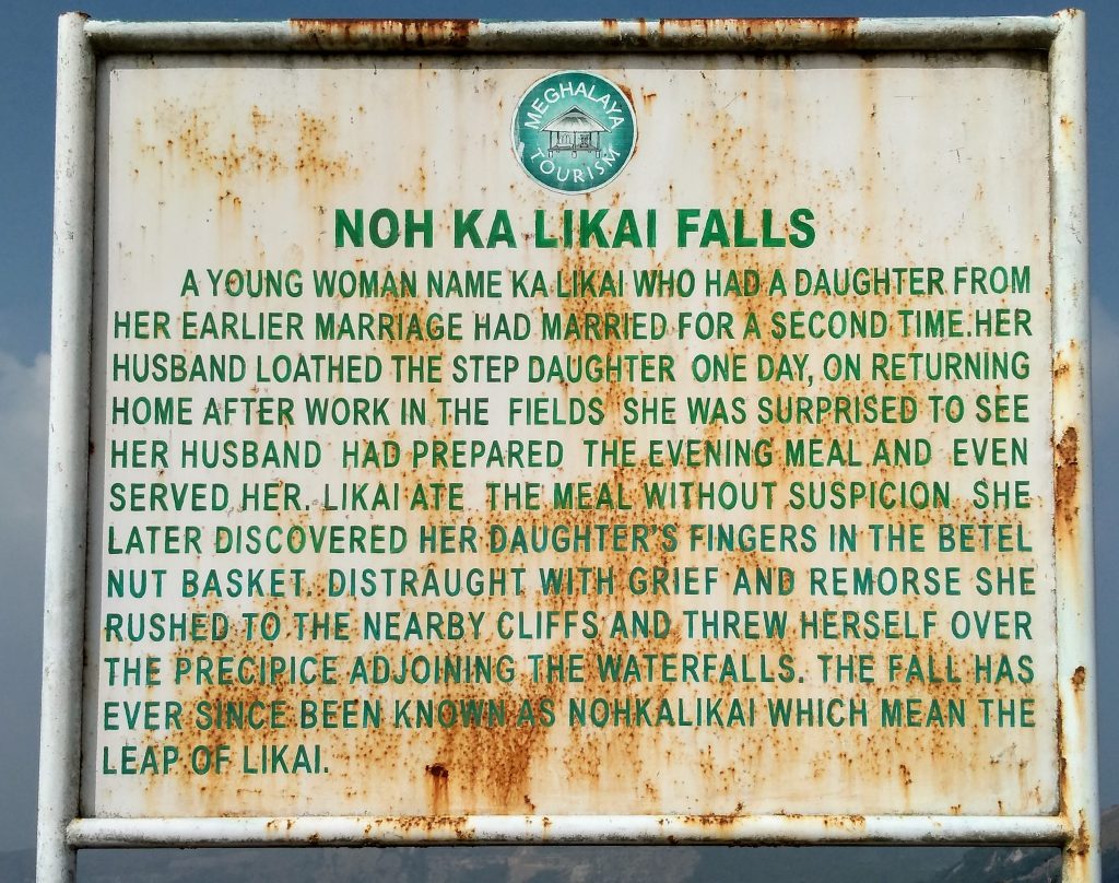
There is a sad story behind the naming of this waterfall. Noh Ka Likai, in Khasi language, means ‘the leap of Likai’.
Tlai Waterfall
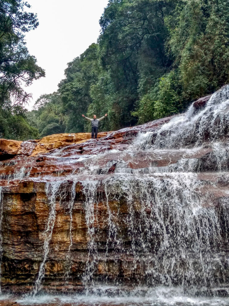
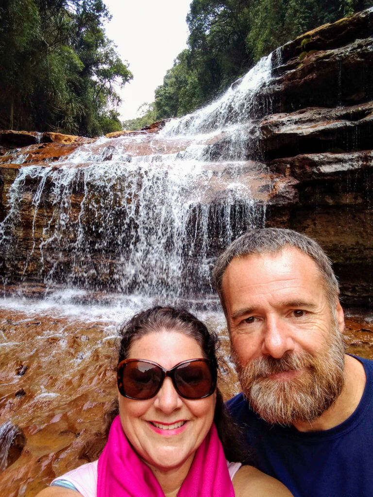
On the return from the head of Nohkalikai waterfalls, carry on along the river bed, past the bridge for the return ascent. Carry on along the river bed and there is a further 3 tiered waterfall. Once again another wonderful sight. To get there means some clambering over boulders and the use of the wooden ladders again.
